CLARK FREEPORT – Creating awareness on how drones can help communities, volunteers from non-profit organizations recently taught Aeta students and some government employees here the basics of drone flying.
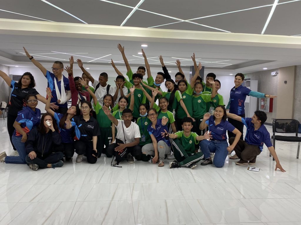
She Maps, an Australian-based social enterprise, Philippines Flying Labs (PFL) in coordination with Clark Development Corporation (CDC) introduced drone technology to some 100 individuals held at multi-purpose hall inside the Clark Skills and Training Center auditorium here.
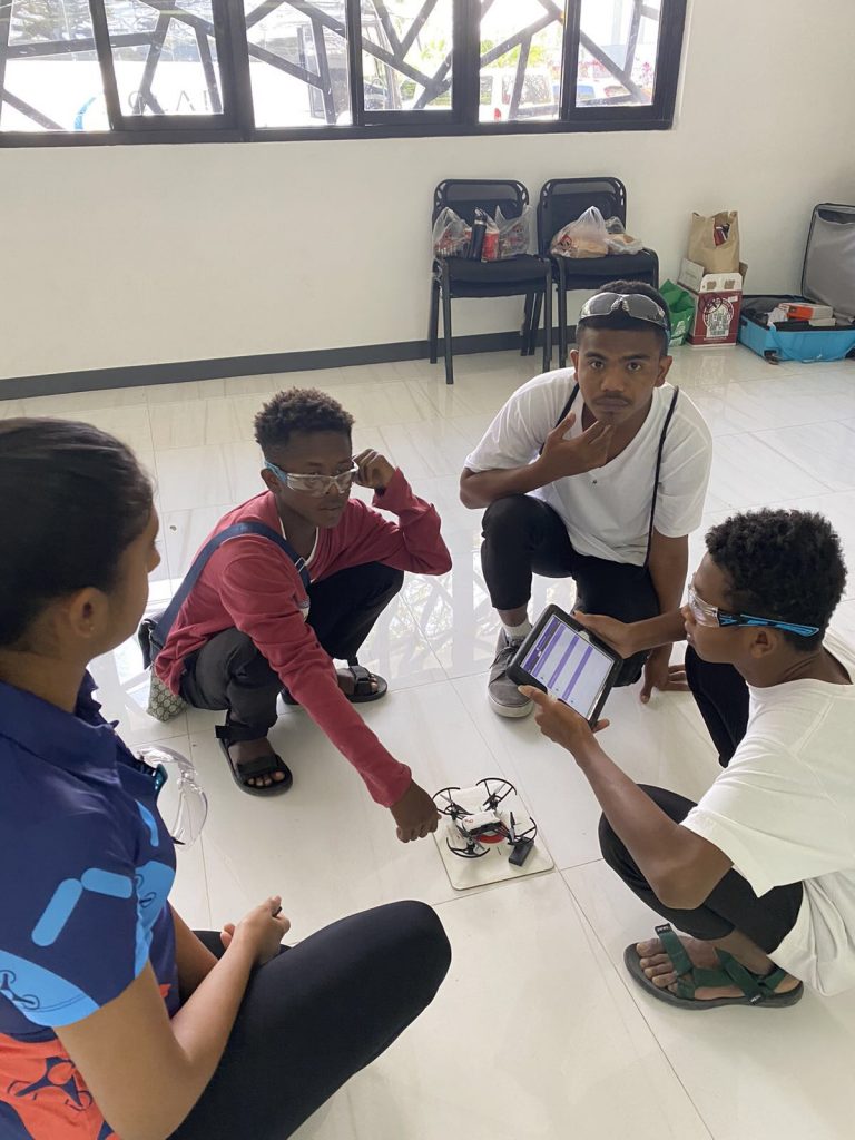
“Fly A Drone” program was initiated by PFL Country Director Dr. Heidi Sampang and benefited 60 students from grade 9th to 10th and 11 teachers from Mabalacat Technical Vocational School (MTVS).

The 2.5-hour program teaches the students the basics of drone flying which includes learning about safety regulations, manually flying a micro drone and completing a survey mission for data gathering.

“We believed that the early exposure to these (drone flying) innovative technology will stimulate children’s curiosity and hopefully they will want to learn more about Science, Technology, Engineering, Math (STEM) track in the K-12,” said Dr. Sampang who is also a certified She Maps online community UAV instructor course.
She Maps education director Dr. Karen Joyce and its managing director, Paul Mead also visited the Philippines and conducted a workshop for teachers interested to learn how to teach children on drone flying.
She Maps specializes in supporting teachers to bring drones into the classrooms. It envisions to bring diversity into how people perceived science, and who does it.

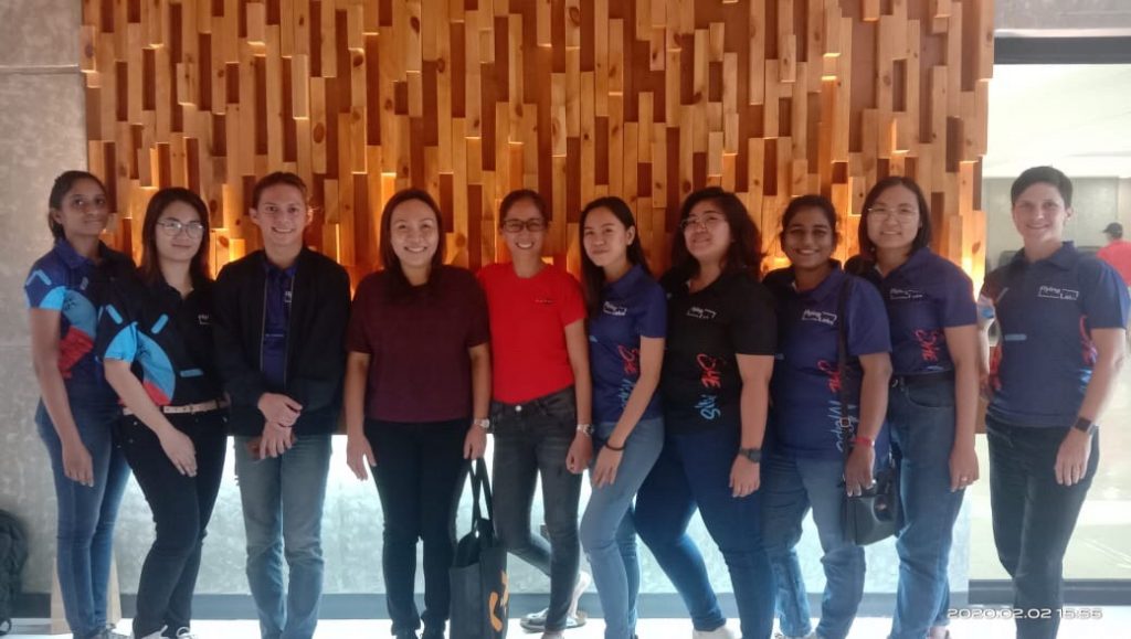
Philippines Flying Labs country director Dr. Heidi Sampang (6th from right) pose with volunteer teachers during “Fly A Drone” program held at multi-purpose hall inside the Clark Skills and Training Center auditorium in Clark Freeport.
(Contributed Photo)
Since 2017 She Maps have run the program over 230 times, with over 5,500 students and teachers, in Australia, the USA and the UK.
Over the weekend, Dr. Sampang extended the “Fly A Drone” program to CDC employees from the External Affairs Department, Public Safety, Estate Preservation and Recovery and Geographic Information System.


